Back on board myself I rang the local police who took the details, then, 10 minutes later, a fire engine appeared and the crew doused the now-dwindling flames.
I had a look at the debris this morning; it looks like the normal detritus on the far side of the bridge, a wooden bed-frame, the remains of a chair and some unidentifiable timber. But oddly the smaller fire included bundles of papers and packets of frozen food! Very strange…
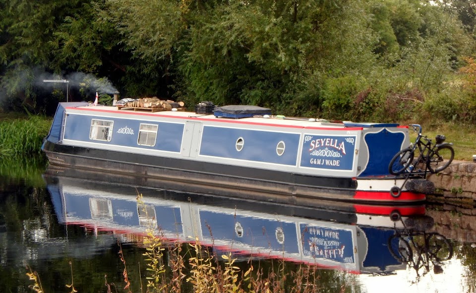
Anyway, the incident left us a little unsettled. I don’t think we’ll be mooring there again.
On that note, although the grassed area enclosed by the junction and Trundles Lane has been tidied up, there's a slope opposite Harkers Boatyard which suggests a side slipway.

Old maps show a building, Junction House, but I suspect this was a toll house.

A bit more research shows that in the mid-1940s, due to demand for more vessels to carry petro-chemicals, Harkers, whose yard was across the canal, did indeed build a side-slip here, the remains of which can still be seen.
It was a wet night that persisted into the morning, but it had dried up by the time we were ready to shove off. Around the corner is Bank Dole Lock, with the river level indicator below. I needn’t have worried…

The gates and wash-walls could do with a trim!
The lock landing pontoon is a little inconveniently placed on the river side of the lock

It must be tricky if there’s a bit of water about.
The River Aire is broad and deep, but twists and turns considerably on it’s way to West Haddesley and the junction with the Selby Canal.

It was pretty breezy too.

Beal Lock is about half-way, the very deep chamber indicating the height the river can rise to in flood conditions.

Eggborough Power Station appears ahead, to the right or left, or behind depending on the direction of the particular loop you’re on.

But it always gets a little nearer.
West Haddesley is actually a flood lock, and at summer levels it’s usually open. The problem is you can’t tell whether it’s open or closed till you're level with the entrance, and by then it’s too late!

So the safest solution is to pull onto the landing and go and have a look first. The lock was in use today, and two boats had just arrived at the canal end.
It was empty, so I brought the first one up and sent him on his way, we then used the lock to drop the foot down, and, after tying up below, I went back and closed up after the second boat to save him having to manoeuvre onto the pontoon.
That done I sorted out the mooring ropes properly, as we are staying here tonight.
Moored below West Haddesley Lock

The afternoon turned out sunny, but that wind is still with us. I took Meg for a walk along the flood bank, and the significance of the area’s industry is demonstrated by it’s power production.
At one point three power stations can be seen -
Eggborough

Ferrybridge

and Drax just visible over the trees.

Between them they can generate 8379 MW of electricity, enough for 8 million homes. Being in the middle of the vast Selby coal-field they were built to run on the black stuff.
Since closure of the Selby Superpit in 2004, most of the fuel is sourced from abroad, although there is still some domestic supply.
Tomorrow we’ll be heading into Selby itself.
Locks 3, miles 6½
1 comment:
I remember having to reverse back against the flow to collect Jan from that floating pontoon at Bank Dole Lock. Then I had to do it in reverse on the way back!
Post a Comment