

Kings Lock had to be filled before we could get on our way, but I did that while Mags was sorting herself out ready for the day. Once down we’re on the river, and alternate between natural and artificial channels for the rest of the day.
As to be expected any settlement with running water nearby spawned mills, using the stream for power and as a processing medium. The next two locks are named for adjacent mills, Aylestone Mill has been demolished, but St Mary’s Mill is still in use.
Aylestone Mill Lock

St. Mary’s Mill, decorated with an array of “Street Art”

The local yoofs certainly like their graffiti, if there’s no man-made structure to hand they tag the trees!

Unfortunately for the river a lot of the industries along it’s banks were dye-works, as Leicester was well known for it’s hosiery.

Until relatively recently the river and canal around Wigston and Aylestone were stained and polluted. Legislation against toxic effluent discharge has improved the water quality considerably.
After a winding section the river suddenly breaks out of the trees as several streams come together at Freeman’s Meadow.
Freeman’s Meadow

The lock here is the deepest on this stretch, just below an impressive bow-shaped weir.
Freeman’s Meadow Weir

Didn’t this lot have a good result last weekend!

The lock here also marks a 1¾ mile lock-free pound as the navigation runs through the city. The river dips in and out, appearing under bridges and disappearing over weirs.

The “Mile Straight” isn’t a mile but it is straight, passing under several bridges, some ornate, some modern and unadorned.


Amazingly, for the first time since we started cruising through here, the pontoon moorings at Castle Gardens were completely empty today. They’re often breasted up on here. It’s a shame that we needed to be at Birstall this afternoon else I’d have pulled in here for the night. It’s ages since I’ve had a look around the city.
These are secure moorings; there’s gated access to the pontoon itself, and the gardens are locked at night too. All along the Mile Straight there are bollards and mooring rings, but there’re rarely used, and usually only for short forays to the local shops.
 Leicester had a bad reputation for local behaviour, I’m not sure it’s justified any more but no-one is prepared to moor on the towpath overnight to find out!
Under West Bridge, and we must be in the town centre…

What should have been a quick 15 minutes, into a full lock, empty it and leave it ready for them, turned into nearly an hour. Ah well. They were heading for Kilby Bridge. At the speed they were doing the locks it was going to be a long day…
In North Road Lock

North Road Lock marks the start of another canal section, the river departs above and runs through Abbey Park before rejoining at Belgrave Lock.
Lime Kiln Lock is part way along this section, and is where the Inland Waterways Association held a campaign rally back in 1967. Above the lock is Memory Lane Wharf, cleaned up for the rally but the 40-odd years since has seen it returning to nature.
Memory Lane Wharf

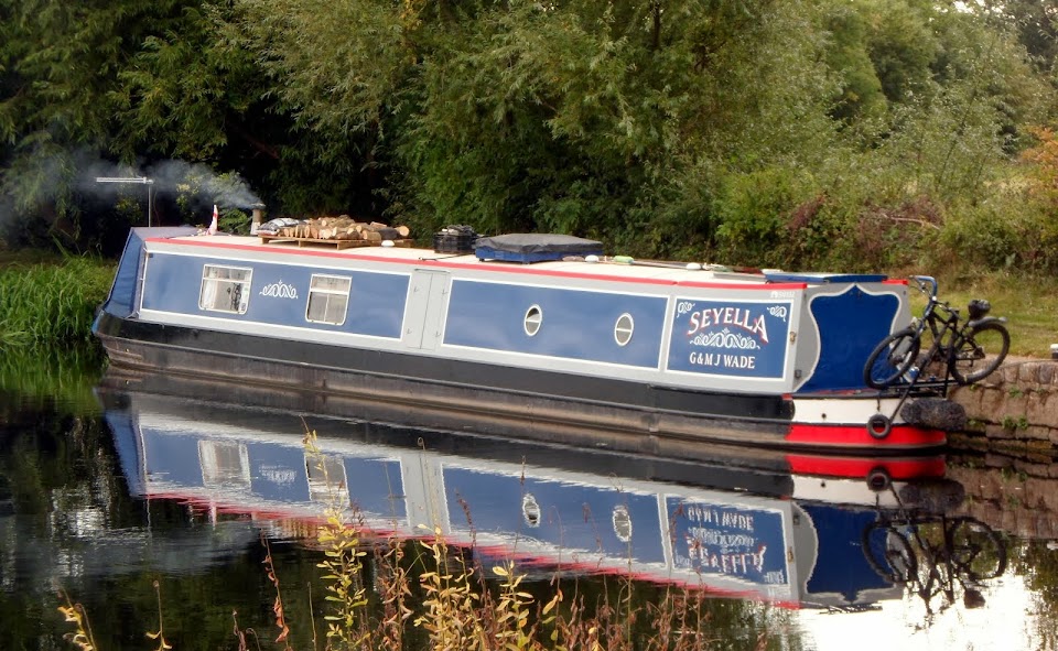
Morning!

The navigation leaves the city at Belgrave Lock, where a channel above skirts the weir and heads back upstream into Abbey Park. It’s supposed to be navigable for half a mile or so, but I don’t know anyone who’s tried it in anything of any size. When was in the Scouts we used to have canoe rallies in the park…
Mags waiting above Belgrave Lock, the channel back round into the park opposite.

Below the lock a pretty, winding length of river heads downstream to Birstall. We often stop below the lock, there’s good moorings there, but today we decided to tie up above. It’s more open and the banks are lower.
Heading down to Birstall

Moored above Birstall Lock

Not sure what we’re doing tomorrow. Meg has a morning appointment with the local vet, just a check-up and boosters, and there’s some shopping to do. We’ll see what time it gets to.
Locks 7, miles 6½
No comments:
Post a Comment